WEB DEV
Projects
terawatch.org
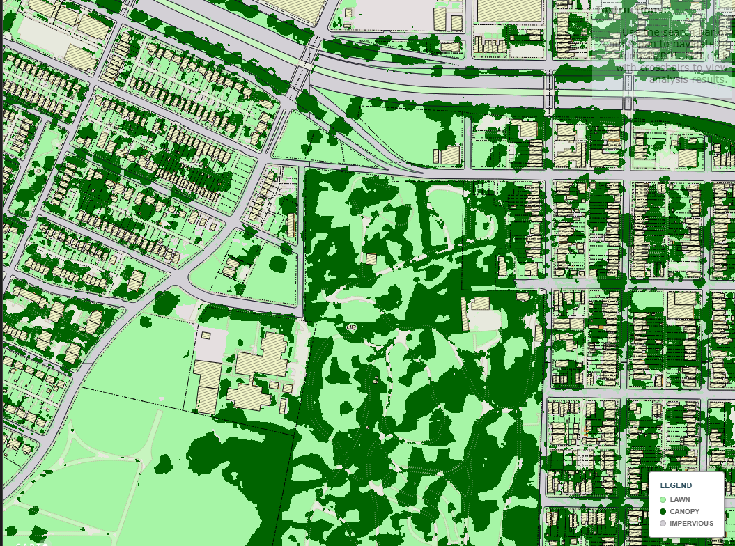
Analyzed development-driven land cover change utilizing Google Earth Engine, and Sentinel-2 data at a 10-meter, monthly resolution. An interactive timeline slider syncs results with VGIN aerial base map epochs for visual validation. Statistics are filtered by date range and viewport location. Bookmarked POIs highlight the rapid data center growth in Northern Virginia.
teramap.org
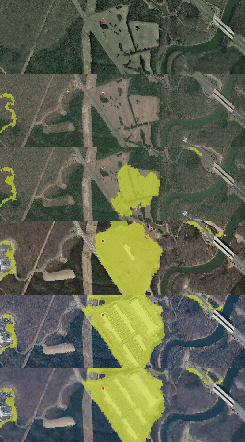
Designed, built, and maintained a web application with background jobs, operational emails, user registration, and a global user base. Features include a massive plant species database, global climate zone lookups, the ability for users to generate contour maps and draw, store, modify, and retrieve user created asset data.
share-more.org
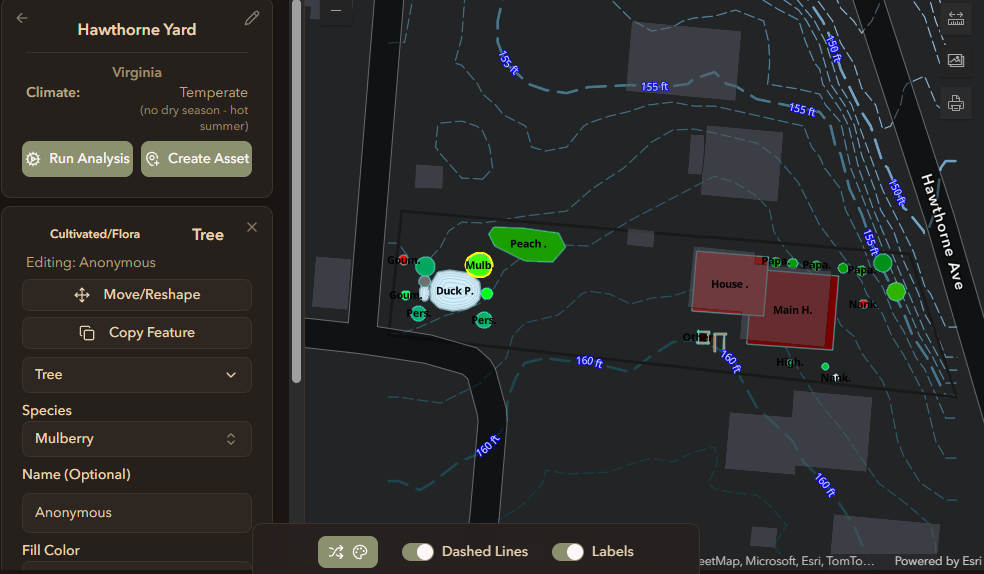
Mobile first designed tool lending library that includes user profiles, FSM workflow supporting a user-to-user decentralized system for requesting and accepting tool rentals, and an in-app bell notification system. More recent additions includes items generating unique QR code to support real-world validation.
Richmond Landcover & Stormwater
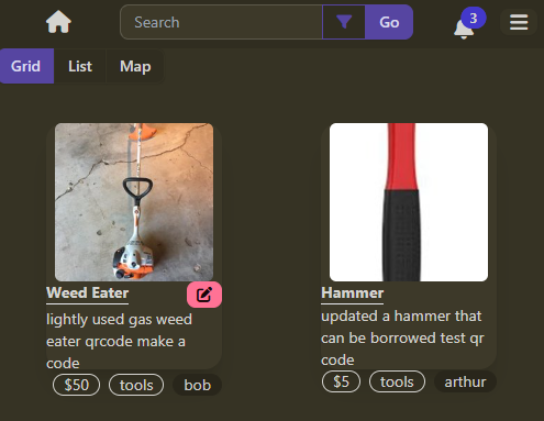
Developed a custom tile basemap with QGIS utilizing over 17 layers including 1m land cover, transportation, and property data. It is a visually appealing tool for homeowners, environmental, and stormwater planners for the city of Richmond to estimate out the stormwater runoff and nutrient loads of properties in Richmond.