GEOSPATIAL
Projects
Watershed Characterization Tool
Custom Geoprocessing Toolbox
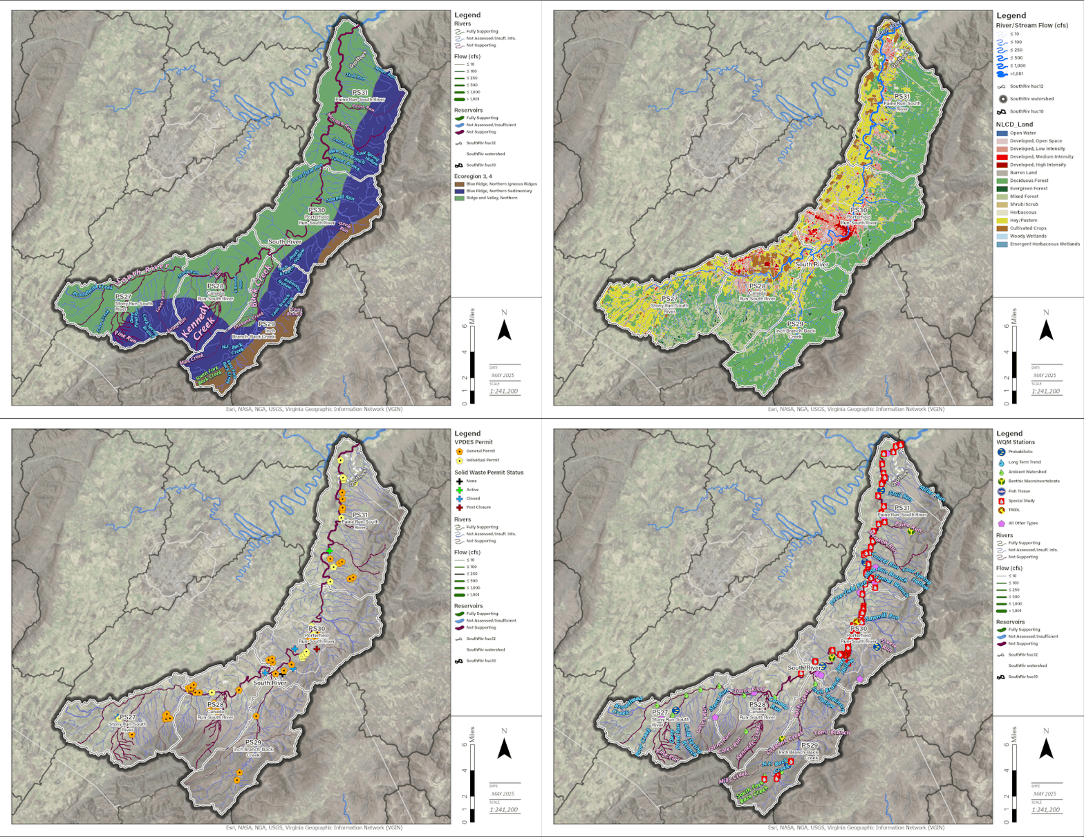
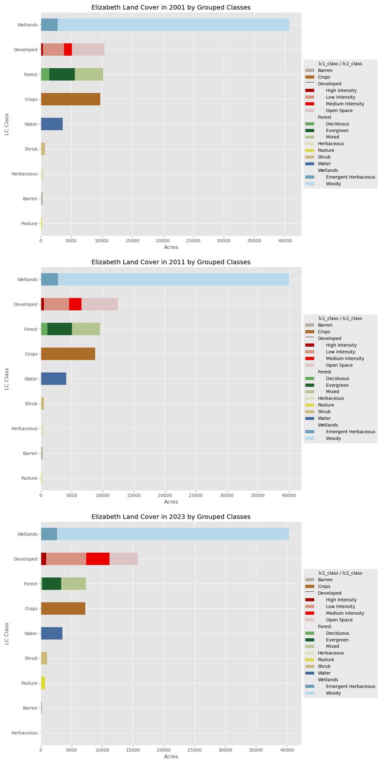
Developed a custom geoprocessing toolbox of 9 distinct tools for performing Watershed Characterizations by DEQ's TMDL program that automates GIS analysis and synthesis of charts, maps, and data tables. Toolbox modules include watershed delineation, stream network, topographic, soils, landcover, population, and climate analysis.
Hurricane Helene SWVA Maps
Advanced Geospatial Analysis & Cartography
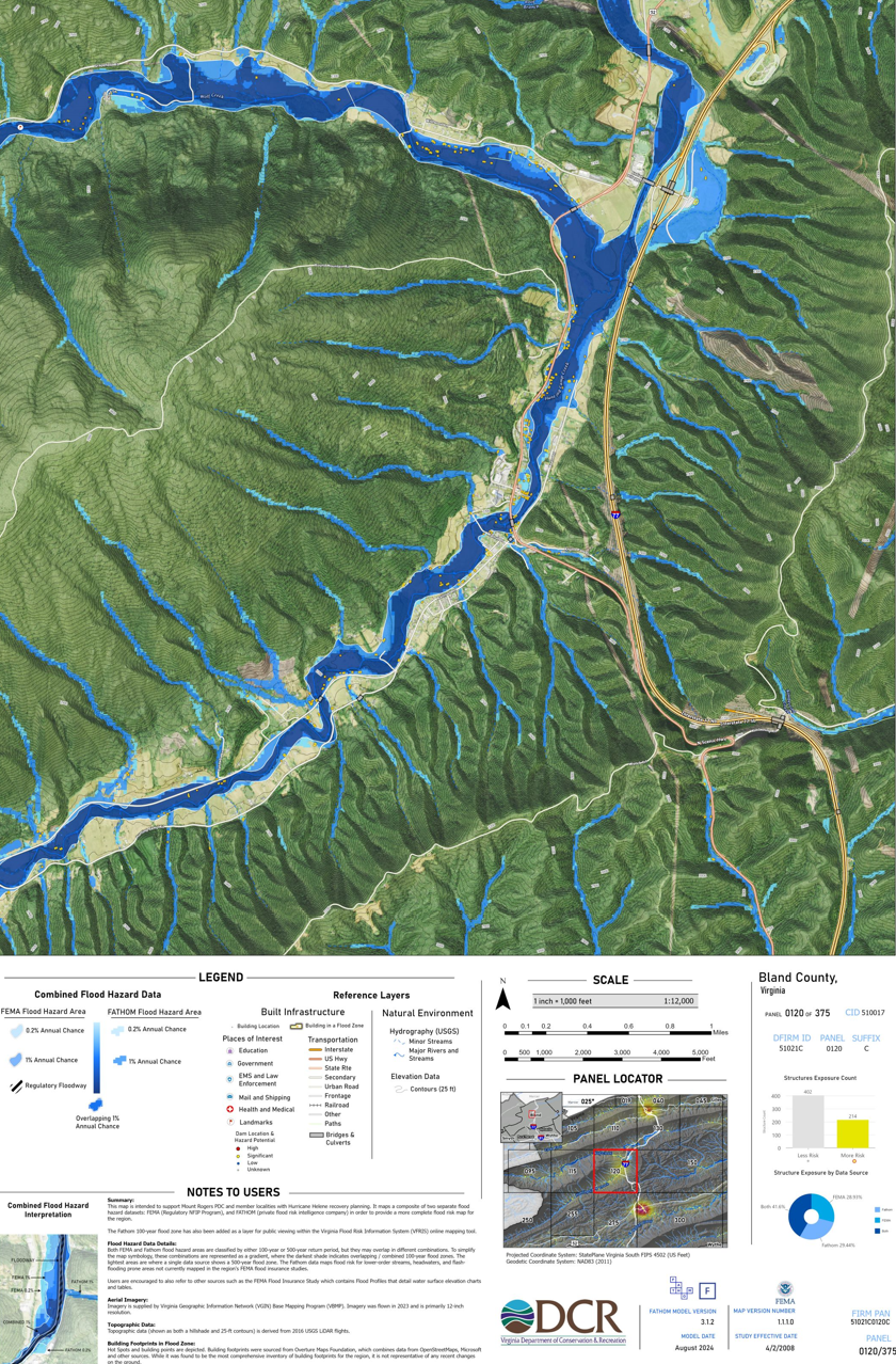
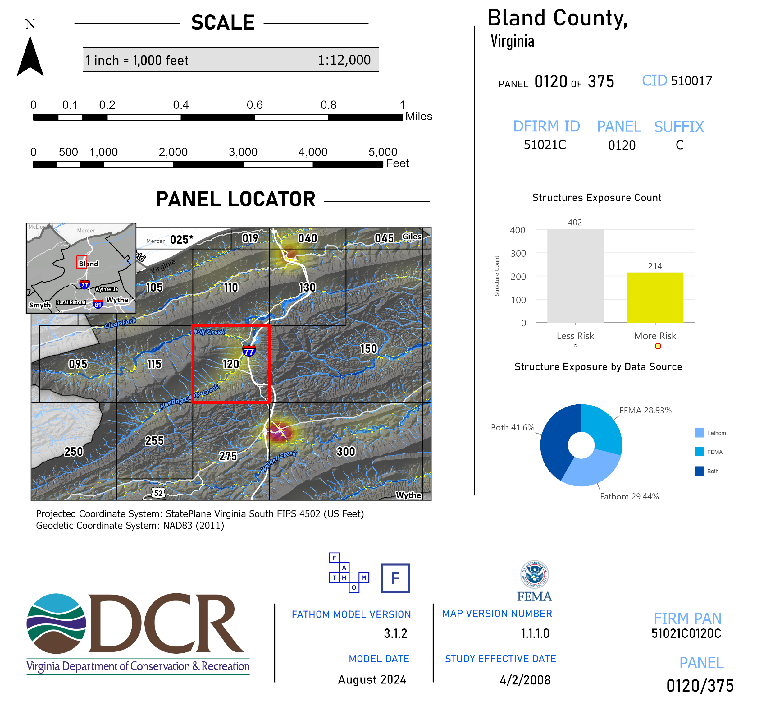
Developed enhanced floodplain maps (large format - 24”x36”) by combining multiple flood hazard datasets (FEMA & FATHOM) to provide significantly more comprehensive maps for Hurricane Helene recovery planning. Analysis demonstrated approximately twice the flood risk due including areas previously unmapped by FEMA maps alone. The map series included index cover pages for 8 localities and 200 individual map panels, complete with data driven dynamic text, charts, and tables on each panel. Maps were printed and mailed to Mount Rogers PDC planning staff in addition to adding a FATHOM flood hazard layer to the state's floodplain mapping tool, VFRIS.
Dam Breach Flood Modeling and Impact Assessment Tool
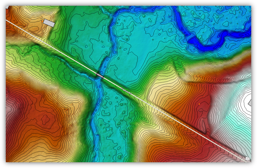
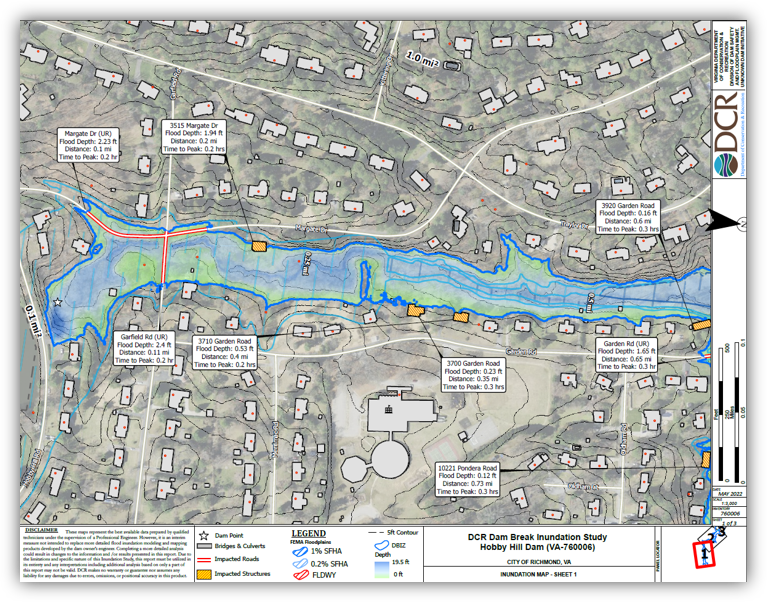
Developed and trained staff on use of custom geospatial automation tools written in python that incorporated statewide elevation, landcover, roads, bridges/culverts, and building footprint data for hydrologic, hydraulic, and inundation impact analysis. The tool includes advanced cartographic automation for streamlining production of dam break inundation maps by dam safety engineering staff.